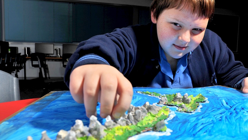
New Zealand, Australia, Iceland, China, Chile – few territories went uncharted when Melton South Primary School grade 5 pupils proudly created 3D maps of their countries of origin.
Teacher Ben Bykersma said the geography project involved pupils looking at their ancestral countries to find rivers, mountain ranges, lakes, valleys and islands.
The project, which adorned the school’s corridors until the end of term two, were scaled and made using salt dough or modelling clay.
David said the maps helped him learn a lot about his native New Zealand.
“I had the most fun creating the mountains on my map,” he said.
Fellow pupil Chloe enjoyed making the salt dough and shaping it.
“I learned where the different states are, that there are all different types of tourist attractions … the land on maps is colour-coded for flat areas, lakes and mountains,” she said.

