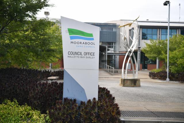
Moorabool council and VicRoads are working on a transport study to investigate how traffic is being managed through Bacchus Marsh, factoring in residents’ concerns about congestion, heavy vehicle traffic and road safety.
A community workshop was held yesterday at the Lerderderg library in Bacchus Marsh and a second will be held tomorrow at the library from 6.15pm.
Roads have been a contentious local issue in recent years, as the town’s population has swelled to more than 18,000.
The new study will be aimed at identifying the road network needs of Bacchus Marsh now and at various stages up to 2041.
The Department of Planning’s report,
Victoria in Future 2014, released on June 12, suggests Moorabool will be the fourth-fastest- growing local government area over the next two decades.
Its population is forecast to grow at an average annual rate of 2.3 per cent, which equates to 16,315 more people living in the area.
Funding commitments for long-standing projects, such as Halletts Way, have been made, then withdrawn, previously by the state government. But in March this year the government announced new revised plans, including upgrades to Woolpack and Hopetoun Park roads and an exit ramp for the Western Freeway to Bacchus Marsh Road – to improve traffic flow and road safety.
Council infrastructure general manager Phil Jeffrey said the “long-needed” study would establish levels of service for traffic movements across the board and was likely to see a variety of recommendations and projects to manage traffic.
“With the significant residential growth occurring in Bacchus Marsh, it is imperative we put a plan in place that … manages traffic movements over time,” Mr Jeffrey said.
To register, call 5366 7100.