By Star Weekly
Moorabool residents will soon have access to video conferencing and a geographic information system (GIS) mapping service thanks to the high-speed National Broadband Network.
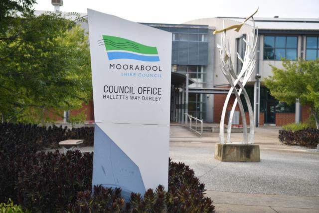
Video conferencing units will be set up at the Lerderderg library and the Ballan and Darley council offices.
The GIS mapping service will be available through a link on the council’s website, providing information such as land parcel sizes, planning zones, places of interest, community facilities and road information.
“We are hoping [this] will enable residents to gain information more effectively and reduce the increasing demand on council’s customer service team,” mayor Paul Tatchell said.
» 5366 7100