A research project is shedding light on the violence of Australia’s colonial frontier.
For hundreds of years, Aboriginal and Torres Strait Islander communities have spoken about murders against Indigenous tribes during settlement.
A University of Newcastle research project has revealed how “widespread” the massacres were. About 250 sites across the country have been identified and mapped, with the number tipped to grow.
“It’s important to document these incidents because they resolve the long-standing question – how violent was the colonial frontier?” University of Newcastle research academic Lyndall Ryan said.
“The high level of community interest and engagement comes from regional Australia, where most of the incidents took place, suggesting that people in the regions really do want to know what happened.”
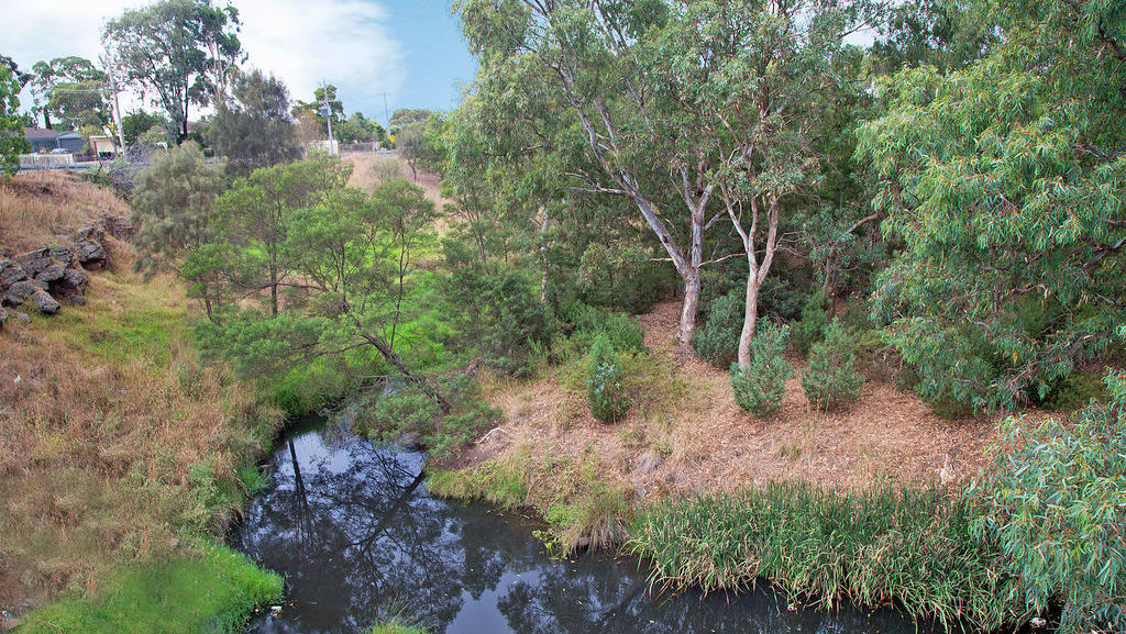
Research has uncovered one site in Mt Cottrell which involved the Wathaurong people of the Kulin Nation who spoke the now-extinct Wathawurrung language.
As a reprisal for the killing of convict Charles Franks and his shepherd by indigenous people, 17 men headed to Mt Cottrell with muskets, killing 10 indigenous people on July 16, 1836.
Settlers portrayed Franks as a gentleman and innocent victim of violence, according to the Victorian Historical Journal.
Port Phillip Magistrate William Lonsdale was instructed in late September, 1836, to investigate the incident, but all of the perpetrators he interviewed had something to hide, according to the University of Newcastle data. It also mentions that one of the men interviewed, William Winberry, “acknowledged that a party went after the blacks and that they were ‘fired on”.
The interview goes on to say that several shots were fired, that a child was found ‘belonging to the fugitives’, but Winberry ‘did not see’ any of them killed or hurt.
Stage one of the digital Colonial Frontier Massacres Map, launched a year ago, recorded 172 incidents across eastern Australia between 1788 and 1872. Stage two, launched last month, extends to events recorded up to 1930.
Ms Ryan said the response from the Australian public to the project had been overwhelmingly positive.
“The map shows that massacre was widespread and affected hundreds of Aboriginal and Torres Strait Islander communities.”
The research team is welcoming suggestions for additions or modifications to the site, data and map. People are being encouraged to visit newcastle.edu.au or email colonialfrontier@newcastle.edu.au

