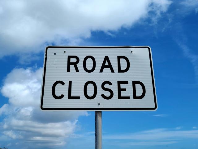
Victorian public land authorities are warning off-road adventurers in Moorabool to obey all closed tracks and gates in forests and parks as seasonal road closures come into effect from this long weekend.
The Conservation Regulator and Forest Fire Management Victoria Authorised Officers are targeting illegal vehicle use and gate breaches on public land during patrols over the cooler, wetter months of the year.
Seasonal closures are in force between June and November every year to protect sensitive environments and to preserve public access tracks when they are most vulnerable to damage. Driving off-road and going around these gates destroys important native plants and vital wildlife habitat, including billy buttons and Clover Glycine.
Conservation Regulator regulatory operations acting director David McIlroy said Victoria’s forests are home to thousands of native plants “that need our protection”.
“There is no excuse for people deliberately driving and riding around locked gates or on closed roads. The damage they cause seriously threatens environmental health and biodiversity,” he said.
Between June and November 2022, more than 400 breaches of closed gates and roads across Victoria were recorded, with Lerderderg State park named as a hotspot, along with Mt Disappointment State Forest, and the state’s alpine areas.
Lerderderg and Wombat State Forest were also listed as hotspots for vehicle offences, with Conservation Regulator Authorised Officers also fined more than 95 people statewide, including illegally driving or riding off-road or on a closed road, and breaching a closed gate.
Most for offences in Moorabool were related to illegal trail bike riding.
In Victoria, it is illegal to drive or ride on a closed road on public land. Anyone caught breaching road closure rules can be fined up to $925, and the offence carries a maximum penalty of $9,246 if prosecuted in court.
Find out more information about seasonal closures on the Fire Management Victoria website. Drivers can check specific tracks via the MapshareVic tool.
Details: ffm.vic.gov.au/forest-and-road-closures or mapshare.vic.gov.au/webmap/publicaccess/.


